Bing maps publishes 2.1 million square kilometers of new imagery for Western Canada

A couple of weeks ago, Bing Maps flaunted off its new imagery for Eastern Canada, giving even Niagara Falls an updated view on its service. Now, the geographical search engine is rolling out more for the North American country, bringing over 2.1 million square kilometers up to date across Western Canada.
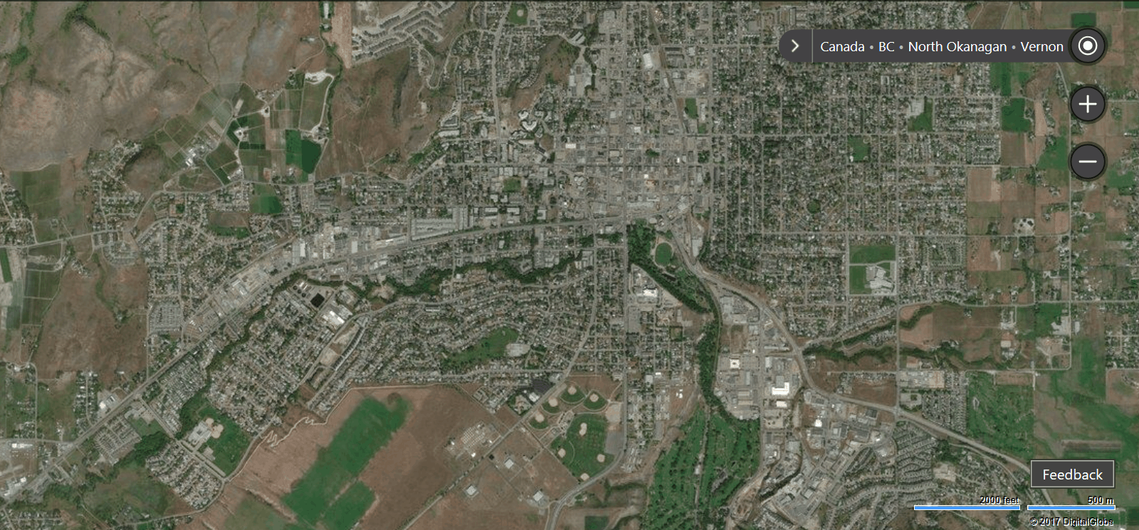
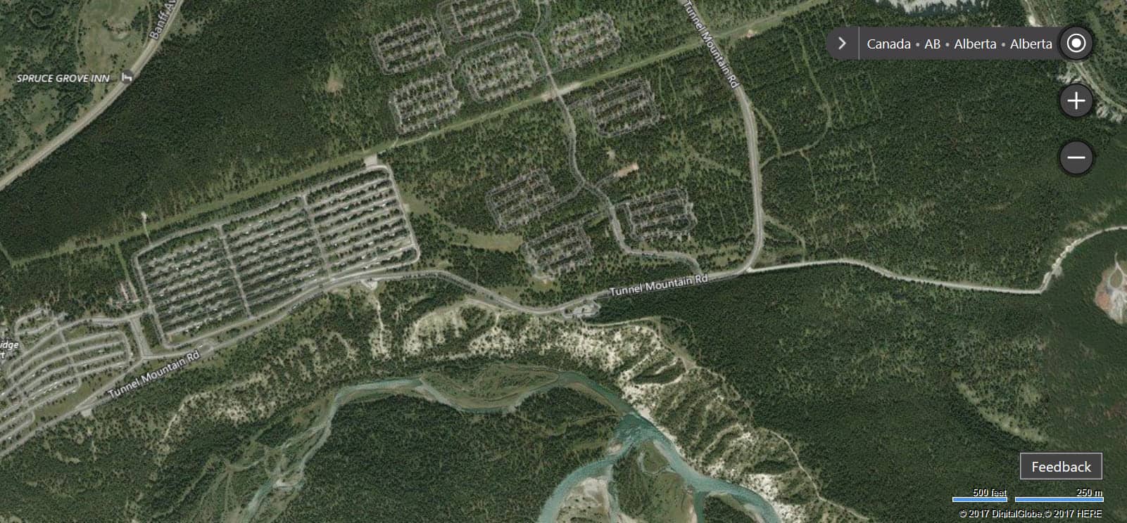
The imagery covers major areas such as Sonora Island, Banff, Alberta, and Vernon, British Columbia. The blog post showing off the birds eye views even gives a little bit of history on each region.
This string of updates for Bing Maps, including the addition of real time traffic a couple of months ago, solidifies the service as a major competitor against the widely used Google Maps. No doubt there are many more to come although without an official timeline, it’s hard to tell which region might be next on the list.
Further reading: Bing Maps, Microsoft


Do you use Bing Maps or Google Maps?